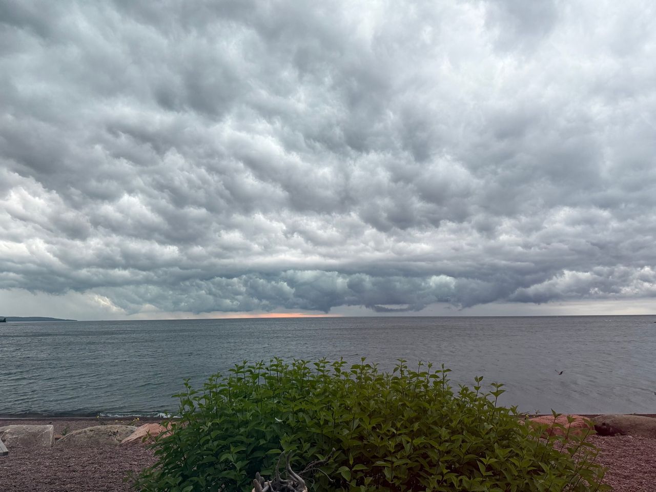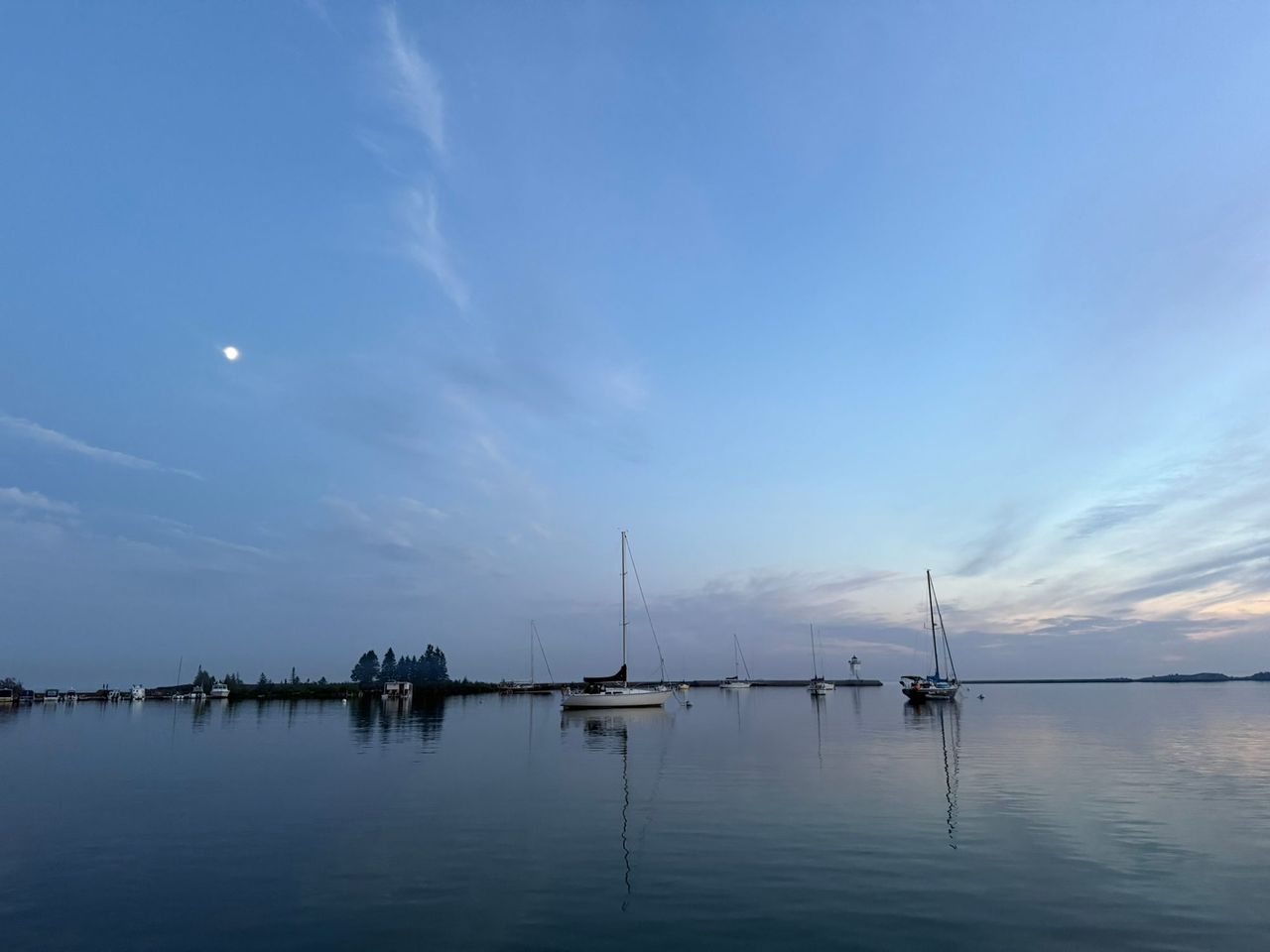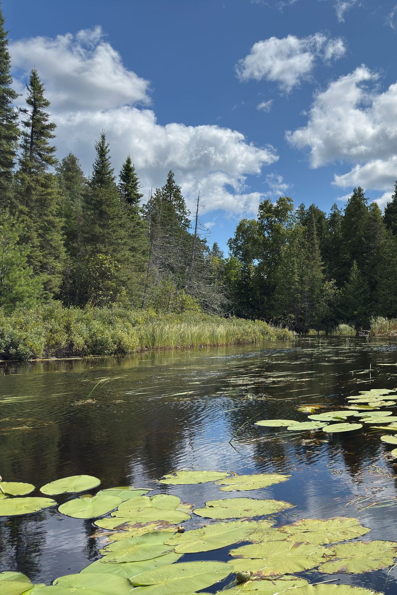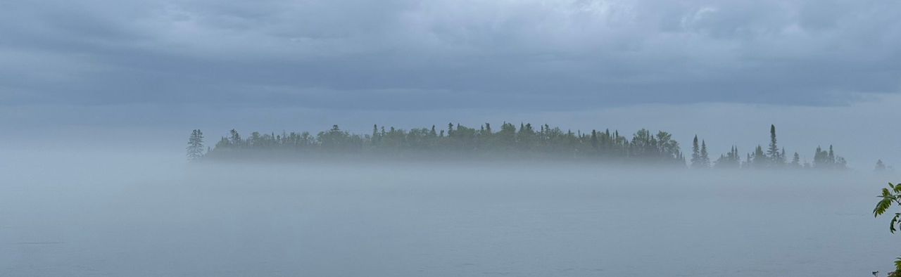
Grand Marais has three climates stacked within an hour's drive. The harbor sits at about 600 feet above sea level on the edge of a very cold, very large lake. The Sawtooth ridge rises directly behind town to about 1,300 feet at Pincushion Mountain. The Gunflint Trail then climbs to inland lake country between about 1,450 and 1,950 feet. The three do not share a forecast.
The three weather pages
This site shows the weather three ways. The weather page is the forecast and what the stations are reporting now. The almanac is today held against the record, with the sun, the moon and the lake. The record book is the record itself: a page for every day of the year, every month and every year since 1900. Every number on them is one of three kinds, measured, computed or forecast, and each page says which.
The weather page
The band at the top of the weather page shows three places: the harbor, the airport and a point up the Gunflint Trail near Poplar Lake. Each is one cell of the National Weather Service's forecast grid, and the large number is the forecast temperature for the hour in progress. The feels-like figure, the wind, the humidity and the other facts on the card come from the nearest reporting station, named below. An advisory, watch or warning in effect at any of the three places shows as a pill under the cards and links to its text at the weather service.
Under the band come the forecaster's own sentences for today and tonight, then the next 48 hours as a chart drawn from the service's hourly grid, then the week as one card a day. The weather service publishes seven days and no more; a site that shows ten is running its own model. "Measured, not forecast" is the day as the station recorded it: the high and low with their times, the strongest wind and gust, and the rain since midnight where the station measures it.
The almanac
The almanac opens with today against the record: today's low and high so far on a thermometer, with the record high and low for the date and the years they were set, and the normal range between them. The records are the Grand Marais cooperative weather station's, kept since May 1900; the normals are NOAA's for 1991 to 2020. "Now, in full" is the station's latest reading, every field of it. The history chart draws each day's high and low for the last week, month or year against the normal range; the site keeps every station reading it receives, and the two airport-and-bay stations' reports back to the late 1990s are in it from the Iowa Environmental Mesonet's archive.
The sun and the moon are computed, not measured: sunrise, sunset and civil twilight from the NOAA solar calculator's equations, the moon's rising, setting and phase from the algorithms in Jean Meeus's Astronomical Algorithms. The lake section reads four stations. The water temperature and the water level come from NOAA's gauge in the harbor; the long-term monthly average the level is held against is the U.S. Army Corps of Engineers' for Lake Superior, 1918 to 2025. The waves and the wind offshore come from the weather buoy 38 miles southeast of the harbor, which is in the water from spring to late fall. The ice cover is NOAA GLERL's daily lake-wide analysis, kept since 1973; the harbor itself is not measured.
The record book
The record book has a page for every day of the year, every month and every year. A day's page (January 1, for one) lists the records for the date and every year on record with its high, low, rain and snow. A month's page (January) gives the month over the whole record and this year's month so far. A year's page runs the year day by day against the normal, month by month against the normals, and carries the six season trackers: frost, the growing season, the snow season, ice on the lake, and the warmest and coldest day of the year, each with its definition written beside it.
A record is only as good as the days behind it, so the record book says how many days a year is missing before it states a total, and it leaves a year out of every comparison across years when the record has a gap inside the window the value is measured over. A record total is the exception: a gap can hide snow but cannot add it, so the snowiest season on record stands on what was measured, gaps or not.
Measured, computed and forecast
| What | Where it comes from |
|---|---|
| The harbor's readings, on the weather page and in the almanac's Now, in full | KGNA, the weather service's station on the Bay of Grand Marais, 186 m above sea level |
| The airport's readings, on the same pages under the Airport tab | KCKC, Grand Marais/Cook County Airport, 544 m |
| The Gunflint readings, under the Gunflint tab | TT507, a weather service station near Poplar Lake, 575 m |
| The records and normals, in the record book and on the almanac's thermometer | The Grand Marais cooperative weather station, NWS COOP 213282, at 612 feet, reporting since May 1900; it has moved within town and the record is read as one series |
| Water temperature and level, in the lake | NOAA CO-OPS station 9099090, Grand Marais, in the harbor |
| Waves and wind offshore, in the lake | NDBC buoy 45006, West Superior, a 2.3-meter discus buoy in 194 m of water at 47.335 N, 89.793 W |
| Lake-wide ice cover, in the lake and the year page's ice tracker | NOAA Great Lakes Environmental Research Laboratory, daily since 1973 |
| The lake's long-term levels, the dashed line on the lake's chart | U.S. Army Corps of Engineers, Detroit District, 1918 to 2025 |
| Forecasts and advisories, on the weather page | National Weather Service Duluth, through the service's public API |
| Sunrise, sunset, twilight, the moon, in Sun and moon | Computed on the site from published algorithms; not measured |
A measured number is from the station named, not from the place the card is named for: the airport is six miles from Pincushion Mountain and the Gunflint station two miles from Poplar Lake. A computed number is only as good as its algorithm and is written to the minute. A forecast is the weather service's and changes hourly.
Why the harbor, the ridge and the Gunflint differ
The lake is a heat sink
Lake Superior works as an air conditioner in summer and a heat source in winter. Water warms and cools far more slowly than land, so the shore lags the seasons. Afternoons are cooler than inland from April through September, and the shore is milder from October through February. The growing season on the shore runs about 10 days longer than at the same latitude 6 miles inland.
The effect is narrow
The lake's influence fades within a few miles of the water and as you climb. In NOAA's 1991 to 2020 climate normals, an average January night is 12 degrees colder at Gunflint Lake than at the harbor, and an average May afternoon is 8 degrees warmer. The three stations below are the Grand Marais cooperative station near the harbor, a station at 1,300 feet on the same ridge above Lutsen, southwest of town, and Gunflint Lake near the end of the Gunflint Trail.
| 1991-2020 normal | Grand Marais (harbor, 612 ft) | Ridge above Lutsen (1,300 ft) | Gunflint Lake (1,455 ft) |
|---|---|---|---|
| January average low | 5.7°F | -3.2°F | -6.3°F |
| May average high | 53.4°F | 58.4°F | 61.5°F |
| July average high | 69.2°F | 72.9°F | 75.9°F |
| Annual snowfall | 50.9 in | not published | 65.3 in |
Fog
Fog here is mostly advection fog. It forms when warm, moist air moves over a cold surface and is chilled to saturation, and it can form under cloudy skies and in a stiff wind. In late spring and summer the cold surface is the lake, so expect fog at the harbor and along Highway 61 before you expect it inland.
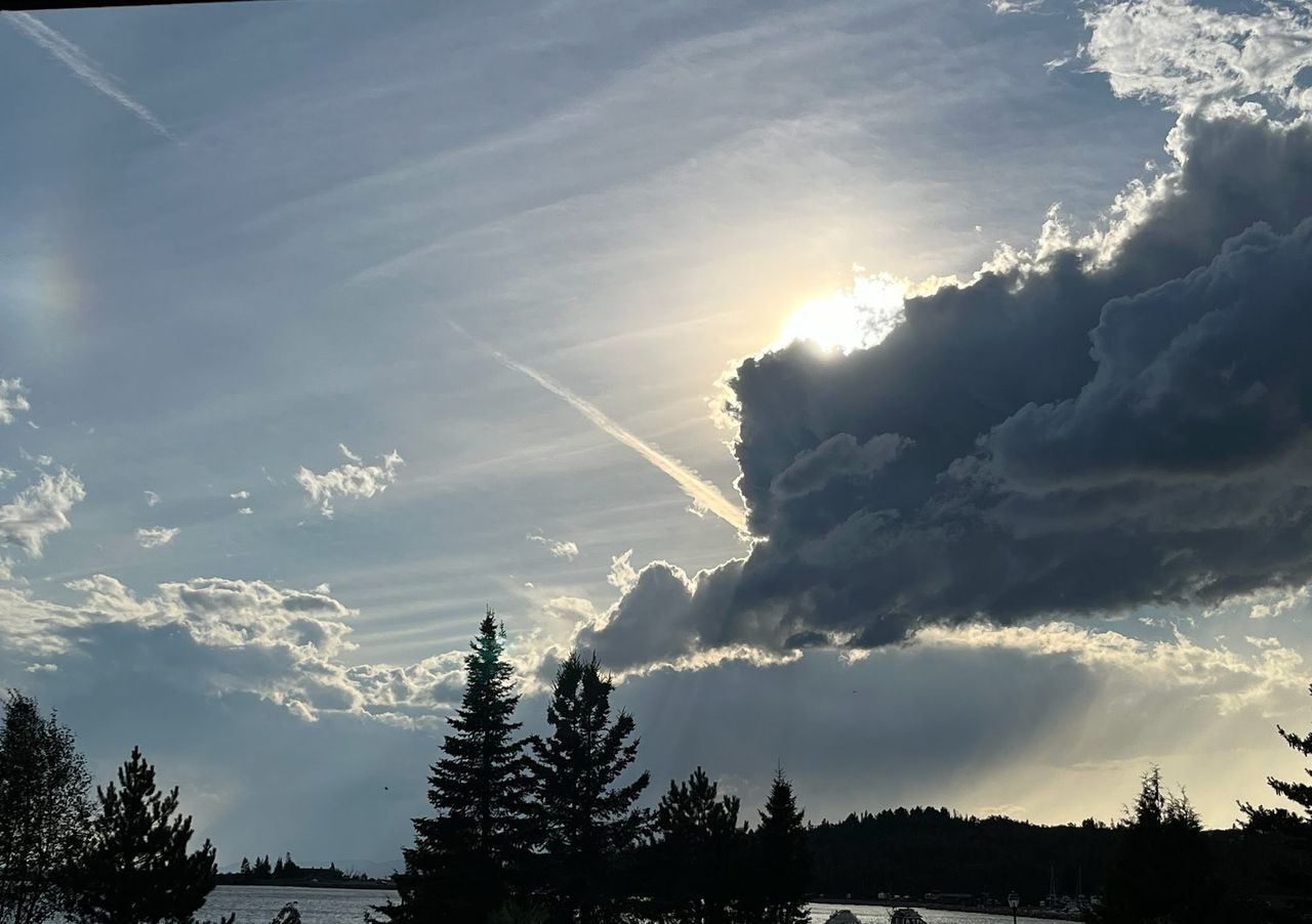
Snow on the ridge
The Lake Superior highlands, the ridge of high ground along the North Shore, are the snowiest part of the state, with average snowfall above 70 inches in the snow belt. Besides the snow from passing storm systems, moist wind off the open lake is pushed up the slope and drops extra snow. On this shore that happens when the wind blows from the east, off the water, and totals tend to grow as you go uphill from the harbor. In the blizzard of February 17 to 19, 2026, the State Climatology Office recorded a three-day total of 40.4 inches at Hovland, the second-largest storm total in Minnesota's records, with winds of 50 to 65 mph near the lake.
Monthly normals for Grand Marais
These are NOAA's 1991 to 2020 normals for the Grand Marais cooperative station (USC00213282, elevation 612 feet). They describe the shore. Expect colder winter nights, warmer summer afternoons and more snow on the ridge and up the Gunflint Trail.
| Month | Average high | Average low | Precipitation | Snowfall |
|---|---|---|---|---|
| January | 21.4°F | 5.7°F | 0.99 in | 15.6 in |
| February | 24.7°F | 7.7°F | 0.72 in | 8.7 in |
| March | 33.3°F | 17.9°F | 0.95 in | 6.0 in |
| April | 43.5°F | 28.7°F | 1.84 in | 3.3 in |
| May | 53.4°F | 37.4°F | 2.61 in | 0.0 in |
| June | 61.2°F | 44.0°F | 3.55 in | 0.0 in |
| July | 69.2°F | 51.7°F | 3.39 in | 0.0 in |
| August | 69.5°F | 54.0°F | 2.56 in | 0.0 in |
| September | 61.9°F | 47.3°F | 2.83 in | 0.0 in |
| October | 49.7°F | 36.4°F | 3.04 in | 0.1 in |
| November | 36.6°F | 24.4°F | 1.81 in | 3.8 in |
| December | 26.3°F | 12.6°F | 1.46 in | 13.4 in |
| Year | 45.9°F | 30.6°F | 25.75 in | 50.9 in |
August, not July, is the warmest month on the shore. June is the wettest. The average high does not reach 70°F in any month.
Water temperature by season
The lake is cold all year. The Minnesota DNR says that, outside of shallow bays and beaches, the water along this shore seldom reaches 55°F even in the hottest summer weather.
| Season | Lake-wide surface average | Harbor gauge at Grand Marais |
|---|---|---|
| Winter (December to March) | 34 to 39°F | no winter readings |
| Spring (April and May) | 35 to 38°F | low 40s in May |
| Summer (June to August) | 43°F in June, rising to 61°F in August | 46°F in June, 53°F in August |
| Fall (September to November) | 58°F in September, falling to 44°F in November | 52 to 55°F |
The lake-wide figures are monthly means of NOAA's daily satellite surface temperature analysis for 1995 to 2025. The whole-lake average bottoms out in early March and peaks in mid-August. The harbor figures are averages from NOAA's Grand Marais station (GDMM5) for 2021 to 2025. One is an average over the whole lake and the other is a single gauge inside the harbor, so they differ.
The National Weather Service warns that water at 50 to 60°F can cause cold shock just as severe as water near freezing. That describes this shore at its warmest. The Lake Superior guide covers cold water safety.
Ice on the harbor
NOAA's Great Lakes lab has tracked ice since 1973. In an average winter the ice on Lake Superior peaks between late February and early March, and the long-term average peak is a little over 60 percent of the lake's surface, with big swings from year to year.
At Grand Marais, ice comes and goes. In some winters the ice around town forms and leaves repeatedly, and strong wind is one reason. Do not assume ice on the harbor or the lake will hold you. The DNR does not measure ice anywhere, and its ice safety pages point out that thickness can change from two feet to one inch in a few yards.
Wind and gale season
Wind is a common fall hazard in this region, strongest on Lake Superior and the land next to it. These are the "gales of November," though the big blow can come in October or, as in 2026, in February. The terms to know in a marine forecast:
| Headline | What it means on Lake Superior |
|---|---|
| Small Craft Advisory | Sustained winds or frequent gusts of 22 to 33 knots, or waves over 4 feet |
| Gale Warning | 34 to 47 knots (39 to 54 mph) |
| Storm Warning | 48 to 63 knots (55 to 73 mph) |
Storm waves on this shore can reach 15 to 20 feet and wash 100 feet or more inland. Watch them from well back, never from the breakwater or wet rock. Read the wind direction as well as the speed. The marine forecast gives both, along with wave heights.
What to pack by season
| Season | What to expect | Pack |
|---|---|---|
| Winter (December to March) | Highs in the 20s and low 30s at the harbor, lows near or below zero inland | Insulated boots, wind shell, face covering, traction for ice, a car kit with blanket and shovel |
| Spring (April and May) | Highs in the 40s and 50s on the shore, snow still possible in April | Waterproof boots, warm layers, rain shell, hat and gloves |
| Summer (June to August) | Highs in the 60s on the shore, 70s inland; nights in the 40s and 50s | A fleece and windbreaker even in July, rain gear, sun protection, insect repellent |
| Fall (September to November) | Highs fall from the low 60s to the 30s; October is one of the wetter months | Rain shell, warm layers, hat and gloves by October, winter gear by November |
In every season, dress for the coldest of the places you will visit that day, and keep a warm layer in the car.
Where to get the forecast
- Conditions right now for the harbor, the ridge and the mid Gunflint Trail are on the weather page, and you can see the harbor on the webcam.
- The National Weather Service in Duluth forecasts for this area and posts current watches and warnings. Its point forecast for Grand Marais is for a small grid square, so click the map on that page to move it onto the ridge or up the Gunflint Trail.
- On the water, the nearshore marine forecast for zone LSZ140, Grand Portage to Grand Marais, gives wind and waves. Zone LSZ141 covers Grand Marais to Taconite Harbor. The boating guide has more.
- On the road, Minnesota 511 is MnDOT's travel information map for road conditions on Highway 61 and the rest of the state system.